Geopark Ngarai Sianok & Maninjau
Geopark Ngarai Sianok & Maninjau

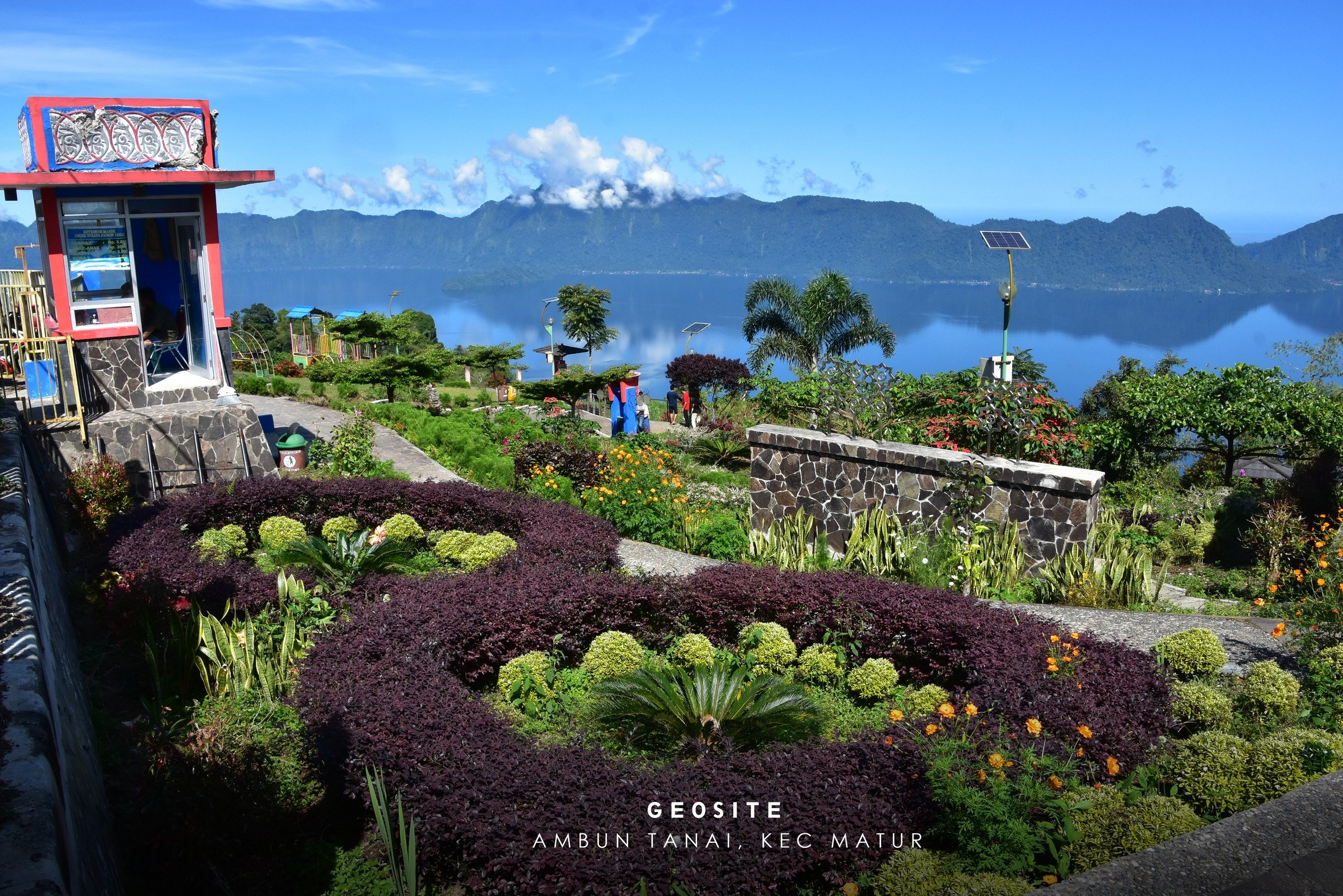
Lake
Maninjau (Indonesian: Danau Maninjau, meaning "overlook" or "observation" in the Minangkabau language) is a caldera lake in West Sumatra, Indonesia. It is located 36 kilometres (22 mi) to the
west of Bukittinggi, at 0°19′S 100°12′E.
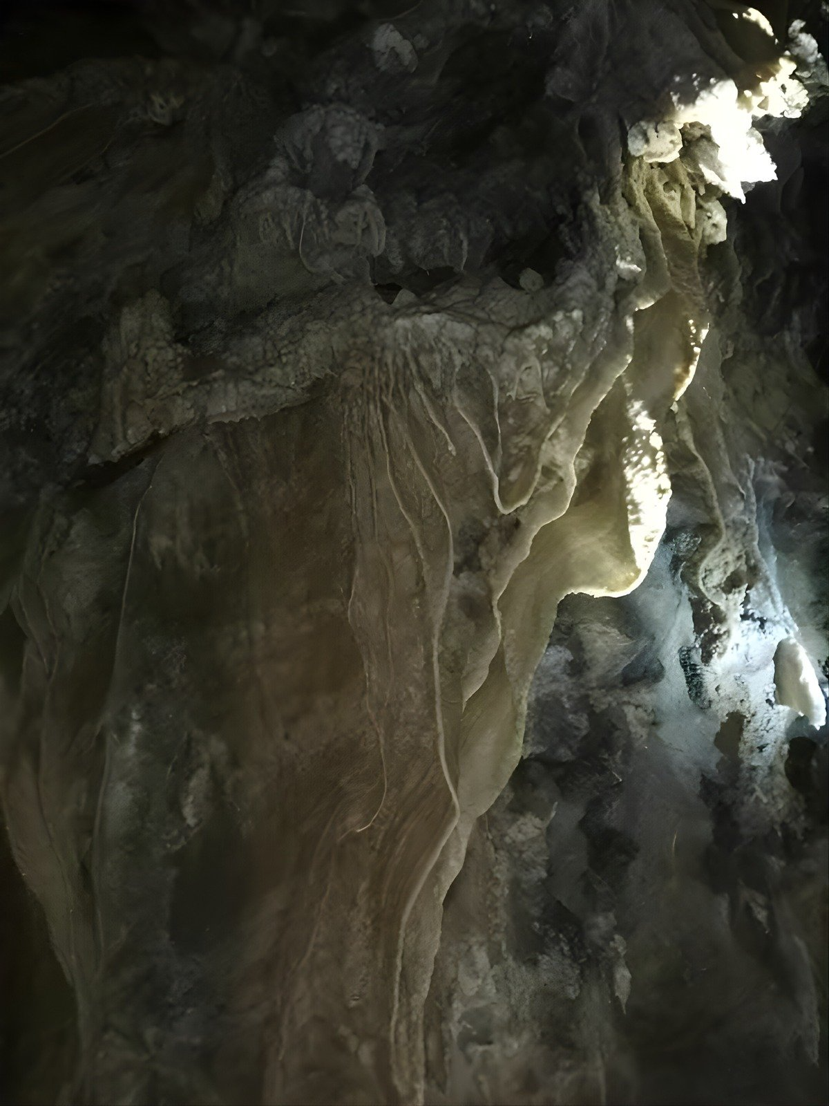
The Maninjau caldera was formed by
a volcanic eruption estimated to have occurred around 52,000 years ago.[1] Deposits from
the eruption have been found in a radial distribution around Maninjau extending
up to 50 kilometres (31 mi) to the east, 75 kilometres (47 mi) to the
southeast, and west to the present coastline. The deposits are estimated to be
distributed over 8,500 square kilometres (3,300 sq mi) and have a
volume of 220–250 cubic kilometres (53–60 cu mi).[2] The caldera has
a length of 20 kilometres (12 mi) and a width of 8 kilometres
(5.0 mi).[1]
Lake Maninjau has an area of 99.5 square
kilometres (38.4 sq mi), being approximately 16 kilometres
(9.9 mi) long and 7 kilometres (4.3 mi) wide. The average depth is
105 metres (344 ft), with a maximum depth of 165 metres (541 ft). The
natural outlet for excess water is the Antokan river, located on the west side
of the lake. It is the only lake in Sumatra which has a
natural outlet to the west coast. Since 1983, this water has been used to
generate hydroelectric power for West Sumatra, generated around 68
MW at maximum load.
Most of the people who live around Lake
Maninjau are ethnically Minangkabau. Villages on
the shores of the lake include Maninjau and Bayur.
Maninjau is a notable tourist destination in the region due to its scenery and mild climate.[citation needed] It is also a site for paragliding.
Sumber :
29 Januari 2026
29 Januari 2026
29 Januari 2026